California farmers have access to enormous amounts of public data about soil, crops, weather, and water. Turning all that information into something useful for a particular field can be much harder.
Satellite imagery and soil databases can help farmers and researchers understand conditions across agricultural land, but working with those datasets often requires specialized software, computing resources, and technical expertise. A team led by UC Riverside researchers built FutureFarmNow to make that information easier to access and use.
FutureFarmNow is a free, bilingual web and phone platform that brings agricultural data and analysis tools into an interactive, map-based interface. Users can select a field and explore information relevant to it without having to process the underlying geospatial datasets themselves.
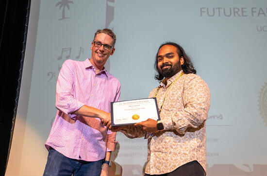
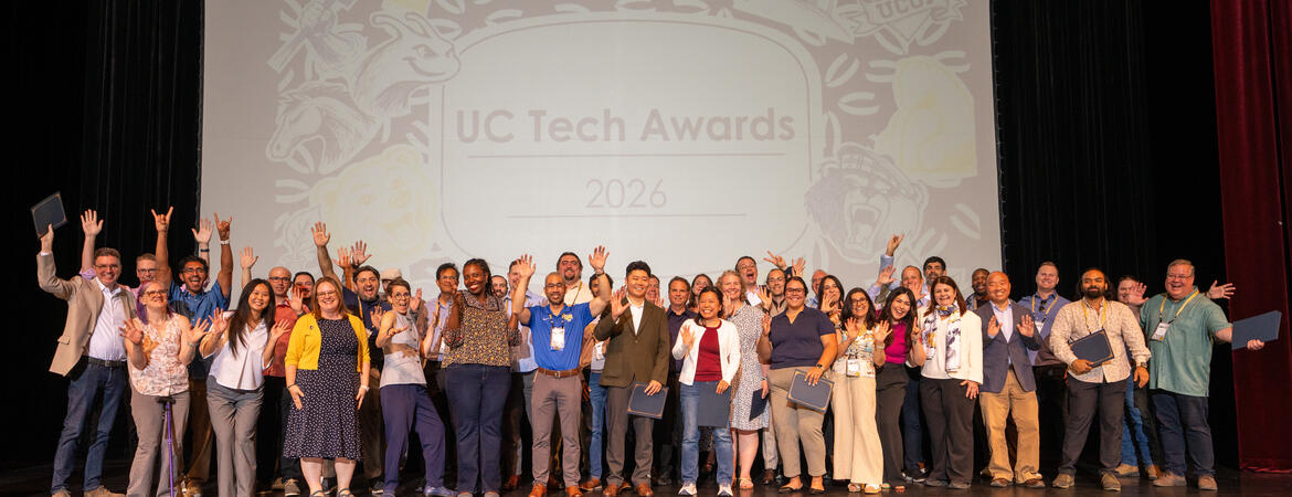
The work earned the team the Silver Larry L. Sautter Award for Innovation in Information Technology at the 2026 UC Tech Awards. The award recognizes technology projects across the University of California system.
“FutureFarmNow is a powerful integration platform that brings together diverse agricultural data and makes it readily accessible to farmers, agricultural advisors, and researchers in a user-friendly format,” said Elia Scudiero, an associate professor and agronomist in UCR’s Department of Environmental Sciences. “It translates this information, including the models developed by UCR and its partners through the AI4SA project, into practical knowledge that supports more informed, sustainable agricultural decisions.”
FutureFarmNow grew out of a larger project funded by the U.S. Department of Agriculture’s National Institute of Food and Agriculture. The initiative focuses on artificial intelligence for sustainable water, nutrient, salinity, and pest management in the Western United States. Development of FutureFarmNow began in 2022.
Scudiero leads the USDA-funded initiative and created the FutureFarmNow work package to translate research into a web and mobile application. The award-winning team also includes Ahmed Eldawy, a professor in UCR’s Department of Computer Science and Engineering; Ray G. Anderson, an adjunct professor in UCR’s Department of Environmental Sciences; Khaled Bali of the Kearney Agricultural Research and Extension Center at UC Agriculture and Natural Resources; Suryaa Charan Shivakumar, a senior applications programmer in UCR computer science; and Zhuocheng Shang, a UCR computer science doctoral candidate.
Bringing together expertise in agriculture, environmental science, computer science, and geospatial systems was necessary because one of the central challenges behind FutureFarmNow is the scale and complexity of the data.
The computing system developed for the platform works with 359,484 agricultural field polygons across California, Sentinel-2 satellite imagery, and POLARIS soil data. POLARIS alone contains about 1.9 terabytes of soil information covering the contiguous United States.
Those sources cannot simply be placed on the same map and analyzed together. Satellite and soil datasets can have different resolutions and geographic coordinate systems. FutureFarmNow preprocesses and aligns the information, then uses spatial indexing and query-processing techniques to retrieve relevant data when a user selects a field or region.
Much of that computing happens out of sight.
A user can navigate an interactive map, select an existing agricultural field or define a custom area, and examine soil characteristics within it. The platform includes information about properties such as salinity and clay content at different soil depths. Users can also examine changes in vegetation over time using the normalized difference vegetation index, or NDVI, a measurement derived from satellite imagery that provides information about vegetation conditions.
Another tool addresses a practical question in the field…Where should someone collect soil samples?
FutureFarmNow uses machine-learning techniques to identify sampling locations intended to represent the statistical characteristics of a selected field. The suggested points appear on a map that users can reference when collecting samples.
The platform also provides evapotranspiration maps, which estimate water transferred from soil and plants to the atmosphere and can support irrigation planning. Users can export results for further analysis or sharing. FutureFarmNow brings together 13 datasets and tools and seven core workflows.
“We're proud of building a system that brought together our team's diverse expertise- agronomy, computer science, and environmental science- into one easy-to-use interface that puts powerful, research-grade data directly in farmers' hands,” Eldawy said.
Different members of the collaboration have tackled different parts of that challenge. Shang transformed an early prototype developed by Scudiero and Anderson into a scalable algorithm designed to serve California. Charan Shivakumar built the front-end application and added user-facing features, including the platform’s artificial intelligence assistant.
The computing research behind FutureFarmNow has also involved collaborators beyond UCR. Shang, Eldawy, and Scudiero worked with George Vellidis of the University of Georgia’s Department of Crop and Soil Science and José Andreis of AUSTN in Brazil on research describing the platform’s spatial data architecture. Their paper, “Demonstration of FutureFarmNow: Interactive Spatial Data Exploration for Precision Agriculture,” was presented at the 2025 ACM International Conference on Advances in Geographic Information Systems.
The platform has continued to grow beyond the capabilities documented in that research. One addition is FarmBot, a bilingual artificial intelligence assistant that gives users another way to work with FutureFarmNow’s data and tools.
FarmBot allows users to ask questions in English or Spanish and can draw on resources connected to the platform, including soil analysis, crop-health indicators, weather information, evapotranspiration data, UC Integrated Pest Management guidance, and USDA market information. Its role is to help users interpret and interact with the information available through FutureFarmNow rather than replace the underlying analytical tools.
For Charan Shivakumar, developing the platform has changed how the team thinks about the role of applied AI.
“This project changed how we think about applied AI,” he said. “We used to see AI as the headline feature. Now we see it as one layer in a system that also needs reliable workflows, observability, governance, and a clear operator experience.”
That emphasis on the system as a whole is also part of what the UC Tech recognition meant to the team.
“Winning the UC Tech Award validated a choice we made early: build for farmers and researchers first, and let engineering follow,” Charan Shivakumar said. “The recognition showed that UC values technology for technical sophistication, but also for bringing people together and creating meaningful work for the community.”
FutureFarmNow’s web platform is free, requires no login or subscription, and is available for farms across California at ffn.cs.ucr.edu. The team has also developed a native iPhone application, which was in TestFlight preview as of March 2026.
The researchers are continuing to expand FutureFarmNow beyond California. They plan to work with UC Agriculture and Natural Resources on outreach to farmers across the Western United States, gather feedback from the field, and use that input to guide future development. The team is also integrating new data pipelines and collaborating with agricultural scientists at UCR and the USDA Salinity Laboratory.
Future development will include FarmBot, with plans to move the assistant beyond answering questions toward supporting multistep tasks with safeguards and monitoring built into the system.
Those additions build on the same challenge that brought the researchers together: taking increasingly complex agricultural data and computing tools and making them useful outside the lab. As FutureFarmNow expands, the next test will be how well the platform responds to the needs of the farmers, agricultural advisers, and researchers it was designed to serve.